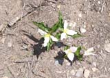
Lower McNeil Point
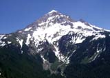
Mount Hood, Oregon -- July 12, 2008
Mike's pictures
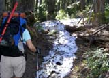
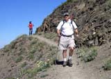
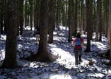
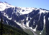
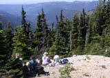
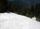
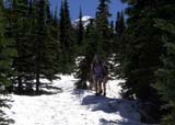
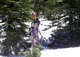
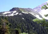
I convinced six others to try for McNeil Point this day. A month before, the road was
blocked by snow four miles from the trail head. Since we had been having hot
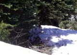
weather lately, I thought the snow would be mostly gone. I was wrong. Where there
was shade, there was snow. The south side of Bald Mountain was snow-free and
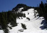
sections of the ridge trail were bare, but the rest was firm, deep snow. We went
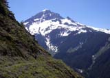
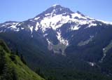
to about 600 feet below the shelter and called that our destination. I felt that we'd
have to take our time finding our way back through the snow covered trails and that
going higher would just mean coming down some dicey snow covered areas. We
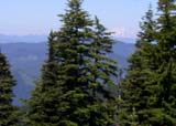
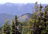
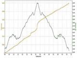
all had fun, loved the views and got back safely. We traveled a bit over seven
miles and our elevation gain/loss was 1,900 feet. Here's a
link to a google map.